As I mentioned earlier my running has pretty much stopped other than the occasional sudden burst when taking Skitters out for a walk. And you know what, that’s fine. My motivation for running was down to two things:
- get regular exercise
- spend time out doors
Both of these are fulfilled just by giving Skitters the exercise she needs.
When I was still running I bought a Garmin Forerunner 205 to replace the Nokia SportsTracker application I was running on my phone. I take this watch out with me on almost every walk I do with Skitters, and record the majority of the route (sometimes, especially here in the built up part of Brighton, it takes a while to lock on to the location). I’m using the excellent application Ascent to read the tracks from the phone and create them into a usable format, and export them to kml format for use on our maps page. I’ve found this combination to work brilliantly, and have found Ascent to be a great tool allowing me to record what we’ve been up to.
It also provides a summary page, allowing me to summarise the month of june as

We’ve got ourselves into a bit of a routine. Generally, I do the morning walk, Richard does the evening walk and we both do weekend walks. In reality though, we often both go out with her. June started with Richard being away at Java One in San Francisco, so I was the only dog-walker, which obviously bumps up my numbers this month somewhat. On top of the daily walks along Brighton/Hove seafront, June has included walks in Stanmer Park [1][2][3], Lancing for low tides [1][2][3], Ashdown Forest [1], Devil’s Dyke [1][2][3], Nymans woods [1], Firle [1] ending up at the excelent Ram Inn at Firle (a dog-friendly pub selling lovely food), Barcombe [1] (involving a beer at the Anchor Inn) and a weekend in Margate with Richard’s folks [1][2][3]
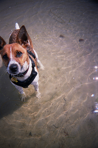
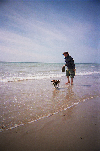
A couple of my favourite Skitters related photos from June are:
and