I listened to the excellent IT Conversations: Steve Coast podcast on my way in to work this morning, which was all about OpenStreetMap. This is a project I already knew of from the dConstruct podcasts as there was a Brighton mapping workshop the day after dConstruct.

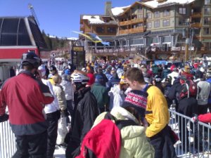
I don’t have a GPS unit, but my only exposure to one was excellent. Whilst in Colorado snowboarding in March we found out about the SlopeTracker service, and rented a unit at Copper Mountain. The end result of this was a piste map with our routes marked on it, along with statistics such as maximum speed, miles travelled, time spent boarding etc (sample map). A great service. So today I started investigating what other ski resorts you could get GPS based maps for, and I stumbled across Mountain Dynamics and the SnowRanger set of resort maps. There’s an Uplink tool as well so that you can share your routes and statistics online.
If we can find a similar service that supports the Mac, then my justification for buying a GPS unit will be in place, and then maybe I can start to contribute to OpenStreetMap as it sounds like a great project. I especially like the fact that they’ve proved the existence of errors and easter eggs in the traditional maps. I’m not sure why, but I’ve always found the use of fictional roads and landmarks as a way of protecting your copyright to be a bit wrong when your reputation relies on the, otherwise, amazing quality of your data.